QGIS
How to Import CSV Coordinates into QGIS and Export GeoJSON
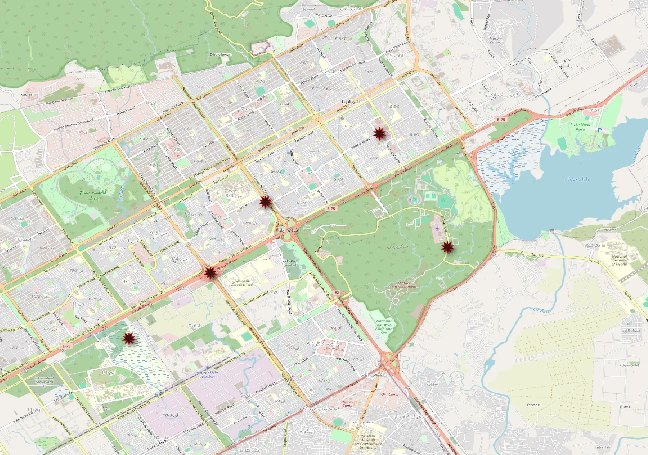
Learn to plot latitude and longitude from a CSV in QGIS, fix common coordinate errors, and export a GeoJSON file with a hands-on example.
Spatialtuts Admin | | 3 min read
Tutorials, practical guides, and ideas from Spatialtuts.
QGIS
Learn to plot latitude and longitude from a CSV in QGIS, fix common coordinate errors, and export a GeoJSON file with a hands-on example.
Spatialtuts Admin | | 3 min read
QGIS
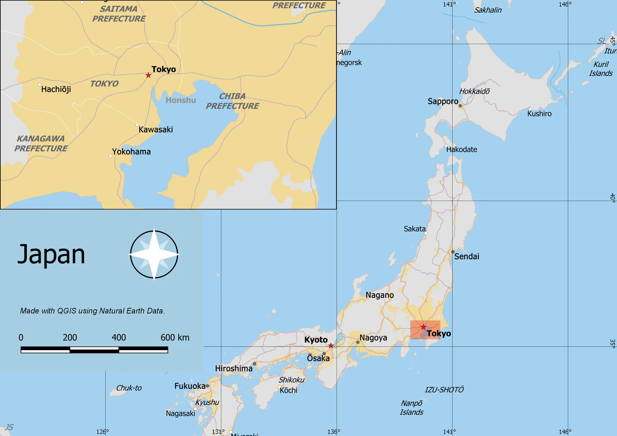
Often one needs to create a map that can be printed or published. QGIS has a powerful tool called Print Layout that allows you to take your GIS layers and package them to create maps.
Saadat Ali | | 7 min read
GIS / Crime Analysis / ArcGIS Pro
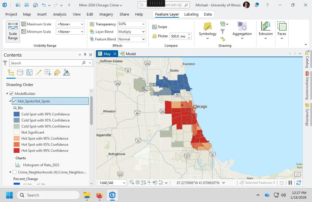
Follow a complete ArcGIS Pro crime-hotspot workflow with a downloadable Chicago dataset, fixed tool settings, reference screenshots, and an analysis script.
Spatialtuts Admin | | 9 min read
Spatialtuts
Learn. Explore. Share.
© 2026 Spatialtuts. All rights reserved.