QGIS
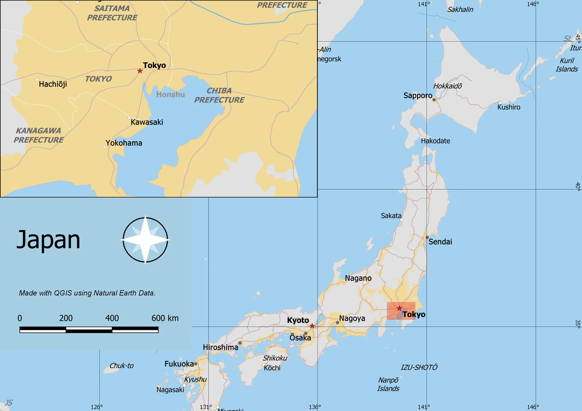
How to Import CSV Coordinates into QGIS and Export GeoJSON
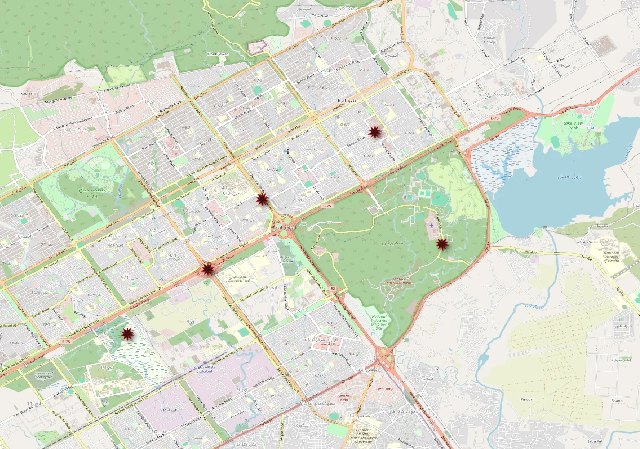
Learn to plot latitude and longitude from a CSV in QGIS, fix common coordinate errors, and export a GeoJSON file with a hands-on example.
Spatialtuts Admin | | 3 min read
Spatialtuts · Practical GIS tutorials
Build your mapping and spatial analysis skills with free GIS tutorials, downloadable datasets, and clear instructions you can follow at your own pace.
QGIS
Learn to plot latitude and longitude from a CSV in QGIS, fix common coordinate errors, and export a GeoJSON file with a hands-on example.
Spatialtuts Admin | | 3 min read
QGIS
Often one needs to create a map that can be printed or published. QGIS has a powerful tool called Print Layout that allows you to take your GIS layers and package them to create maps.
Saadat Ali | | 7 min read
GIS / Crime Analysis / ArcGIS Pro
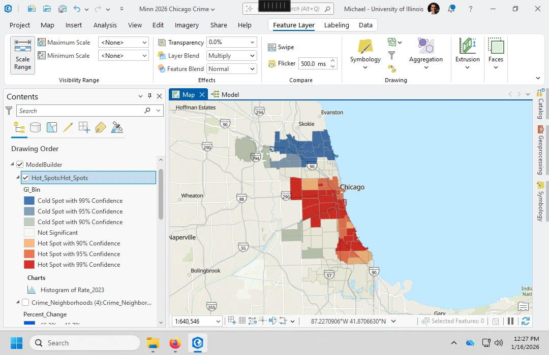
Follow a complete ArcGIS Pro crime-hotspot workflow with a downloadable Chicago dataset, fixed tool settings, reference screenshots, and an analysis script.
Spatialtuts Admin | | 9 min read
Start with the foundations
GIS stands for geographic information systems: tools for working with data that has a location. If you are learning GIS online for the first time, start by understanding your data, then build a map before moving on to analysis.
Points, lines, and polygons represent individual features. Rasters divide an area into cells. Check the attributes, source, and coordinate system of each layer before using it.
Choose a small dataset and a question. Add the layers, check that locations line up, and choose symbols that explain the data. Include a title, legend, and source when sharing your map.
Follow a complete tutorial, compare your intermediate outputs with its checkpoints, and record the settings you used. Explain what the final map can and cannot tell you.
Learn by doing: read the requirements, download the practice data, follow each operation, and check the output before continuing. Our tutorials bring instructions, settings, and reference images together so you can concentrate on the workflow.
Start with our free, self-paced GIS tutorials and practical guides. You can read the lessons without buying a course. Check each tutorial's software requirements: ArcGIS Pro may require a paid licence, while QGIS is free and open source.
Browse the free GIS tutorial librarySpatialtuts
Learn. Explore. Share.
© 2026 Spatialtuts. All rights reserved.